
Deer Creek System
The Deer Creek System provides the primary supply of water to Nevada County (the Bear River System provides water to Placer County).
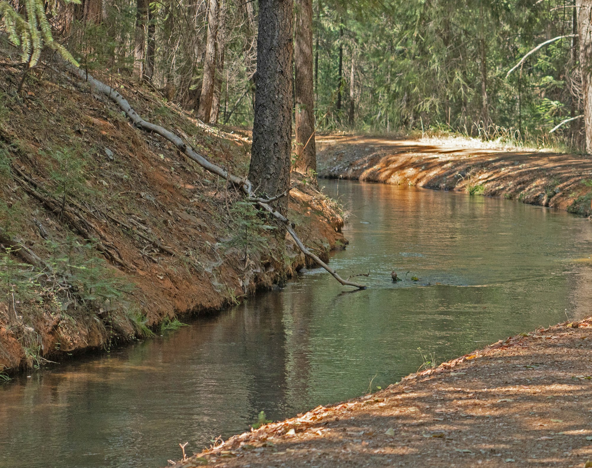
The water is supplied via natual Deer Creek and South Yuba Canal flows from higher elevations. The system is comprised of 75 canals that provide service to 3, 315 raw water customers and more than 18,260 treated water customers, or a total population of 52,300.
- Diversions 53,000 acre-feet in 2019
- Average flows in 2019 = 31 CFS in summer & 7 CFS in winter
- Supplies 75 downstream canals covering a distance of more than 65 miles
- Provides summer irrigation water to 3,315 customers and 315 winter water customers
- Supplies more than 18,260 treated water connections
- Supports six potable water treatment plants
- Metering is located at Lower Scotts Flat
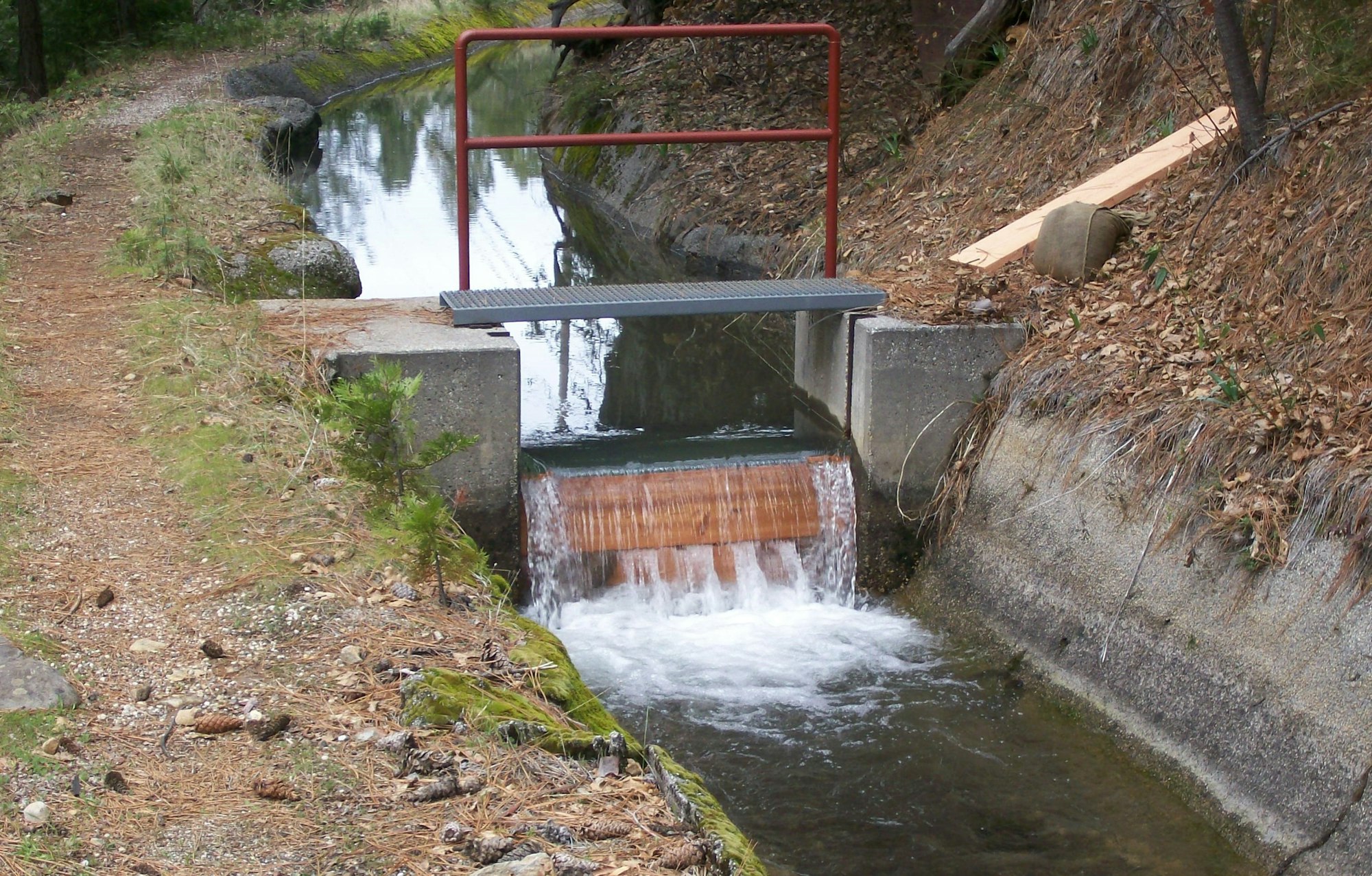
- Flows regulated and distributed into Deer Creek
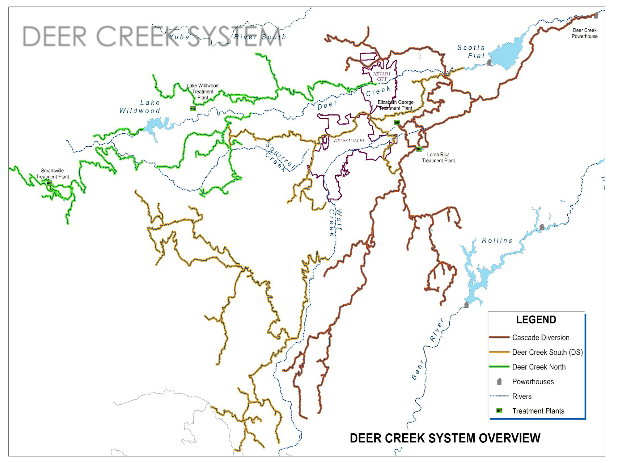
DEER CREEK SYSTEM CANALS AND STORAGE FACILITIES
Deer Creek South System Diversion
Deer Creek North System Regulation
Cascade Canal System Diversion
Cascade Canal
- Cascade Canal
- Cascade Shores Treatment Plant
- Snow Mountain Canal
- Willow Valley Canal
- Cement Hill Canal
- Lake Vera Pipe
- Sugarloaf Reservoir and Pipe
- Red Hill Canal
- Red Hill Reservoir and Pipe
- Buffington Canal
- Upper Grass Valley Canal
- Elizabeth George Treatment Plant
- Loma Rica Reservoir
- Loma Rica Treatment Plant
- Chicago Park Canal
DS Canal at Gracie Road
- O'Leary Pipe
- Sunshine Valley Canal
- Sontag Canal
- Ripkin Canal
- Ruess Reservoir
- Chicago Park East Canal
- Chicago Park Pipe
- Chicago Park West Canal
- Meyer-Bierwagen Pipe
- Blum Pipe
- Smith Moulton Reservoir and Pipe
- John Henry Meyers Canal
- Rattlesnake Canal
- Woodpecker Canal

Allison Ranch Canal
- Forest Springs Canal
- Maben Canal
- Kyler Canal
- Maben Reservoir and Pipe
- Cunningham Reservoir
- Grove Canal
- Cherry Creek Canal
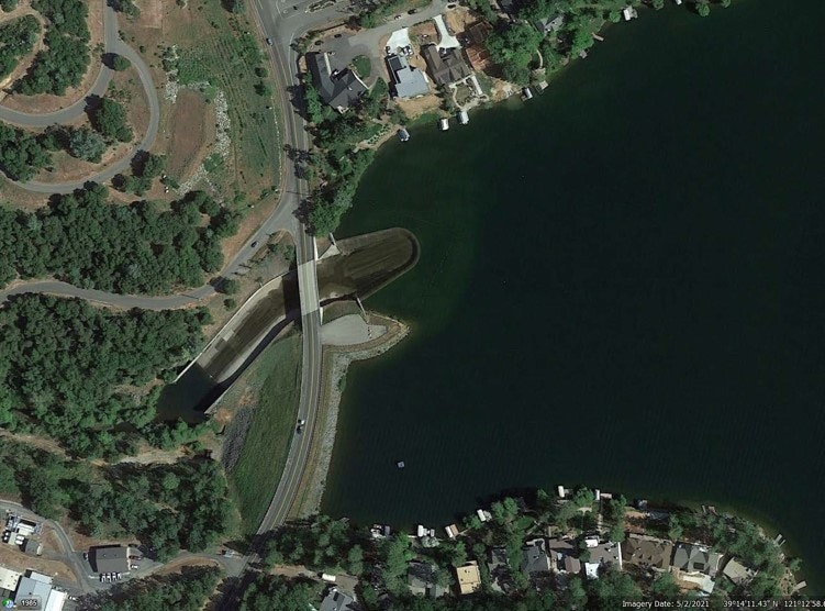
- Scotts Flat Reservoir
- Lower Scotts Flat Reservoir
- D-S Canal
- Red Dog Canal
- Alta Hill Reservoir
- Allison Ranch Canal

Tarr Canal
- Corey Canal
- Lafayette Canal
- Rough and Ready Canal
- Sazarac Canal
- Rough and Ready Reservoir
- Tarr Canal
- Breckenridge Canal
- Clear Creek Canal
- Beyers Canal
- Smith Gordon Canal
- Casey Loney Canal
- Stinson Pipe

Newtown diversion
- Pet Hill Canal
- Pet Hill Canal Extension
- Bald Hill Canal
- B Canal
- Cole Viet Canal
- Miller Canal
- Wolf Canal
- Pearl Barnes Canal
- Carpenter Canal
- Cole Canal
- Newtown Canal
- Newtown Reservoir
- Lester Canal
- Lake Wildwood Treatment Plant
Keystone diversion
- Tunnel Canal
- Riffle Box Canal
- Tunnel Canal Extension
- Rex Canal
- Portuguese Canal
- Rex Reservoir
- Quincy Canal
- Quincy Pipe
- China/Union Canal
- Spenceville Canal
- Meade Canal
- Union Reservoir
- Ousley Bar Canal
- Town Canal
- Smartsville Treatment Plant
- Farm Canal
- Keystone Canal