Deer Creek South System
- Diversion regulated at Lower Scotts Flat
- Supplied via natural Deer Creek and imported South Yuba Canal flows
- Flows continuously measured and reported via SCADA
- Average flows in 2019 = 49 cubic feet a sceond (CFS) in summer and 11 CFS in winter
- Supplies 25 downstream canals covering a distance of roughly7 83 miles
- Provides 1, 004 summer irrigation water customers and 37 winter water customers
- Is the main source of drinking water supply for the City of Grass Valley
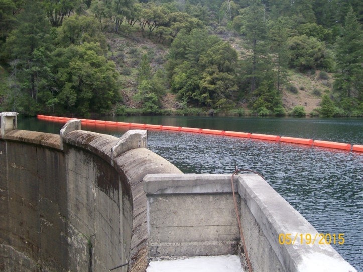
Lower Scotts Flat Dam