Snow Survey

EXAMPLE:
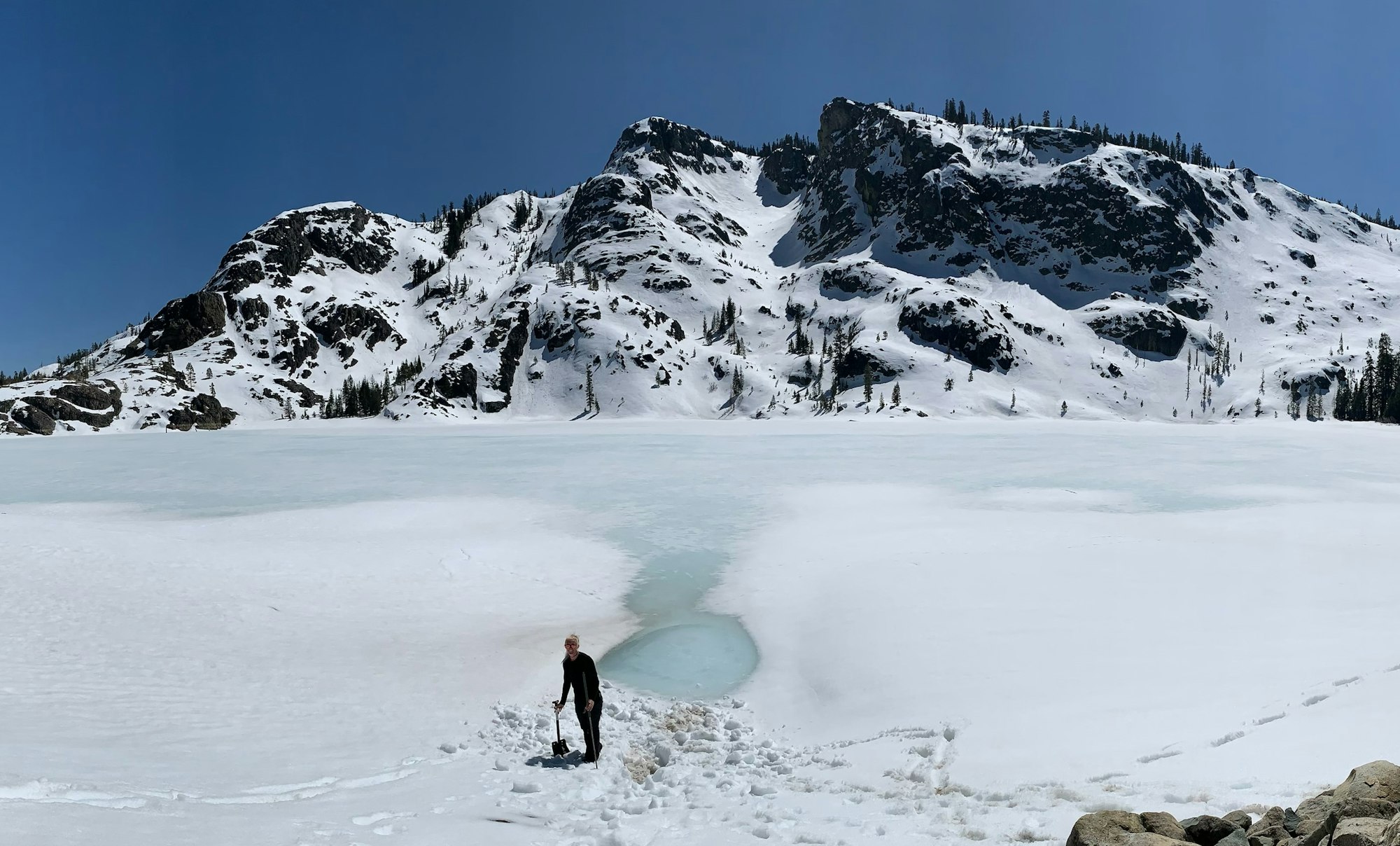
NID conducts three official snow surveys each year in February, March and April. Results of the snow surveys are used to predict water availability locally and statewide.
District hydrographers take surveys on five courses:
- Webber Peak (7,800 feet)
- English Mountain (7,100 ft.)
- Webber Lake (7,000 ft.)
- Findley Peak (6,500 ft.)
- Bowman Reservoir (5,650 ft.)
Note: a sixth snow course at a lower elevation, Chalk Bluff (4,850 feet) is on the Deer Creek watershed and not included in the five-course mountain division average.
NID is a member of the California Cooperative Snow Survey
How Do They Do It? Learn how our hydrographers conduct snow surveys. The video (4:09 minutes) follows our team during a survey. CLICK HERE TO WATCH