Rollins Dam (elevation 2,187 feet)

Rollins is an instream dam and reservoir on the Bear River. This includes Greenhorn and Steep Hollow creeks.
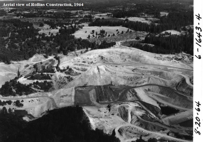
Standing at 242 feet high and 1,260 feet in length, the dam was constructed in 1964-65 as part of the Yuba-Bear Hydroelectric Project.
The dam is an earthen rockfill dam with maximum reservoir capacity of 65,988 acre-feet. The typical low level is 40,000 acre-feet. Storage water rights include consumptive and non- consumptive uses.
Water sources include the South Yuba River and the Bear River. The current required environmental flow to the Bear River is 15-75 cubic feet per second (CFS), depending on the season and water year type. The reservoir discharges to the Bear River and the Rollins Powerhouse.
Recreation: four campgrounds, day use and boating at Greenhorn, Orchard Springs, Long Ravine, and Peninsula. Rollins attracts roughly 120,000 visitors annually.