
One District. Many Watersheds.
Your water doesn't come from one place. Discover where the journey begins
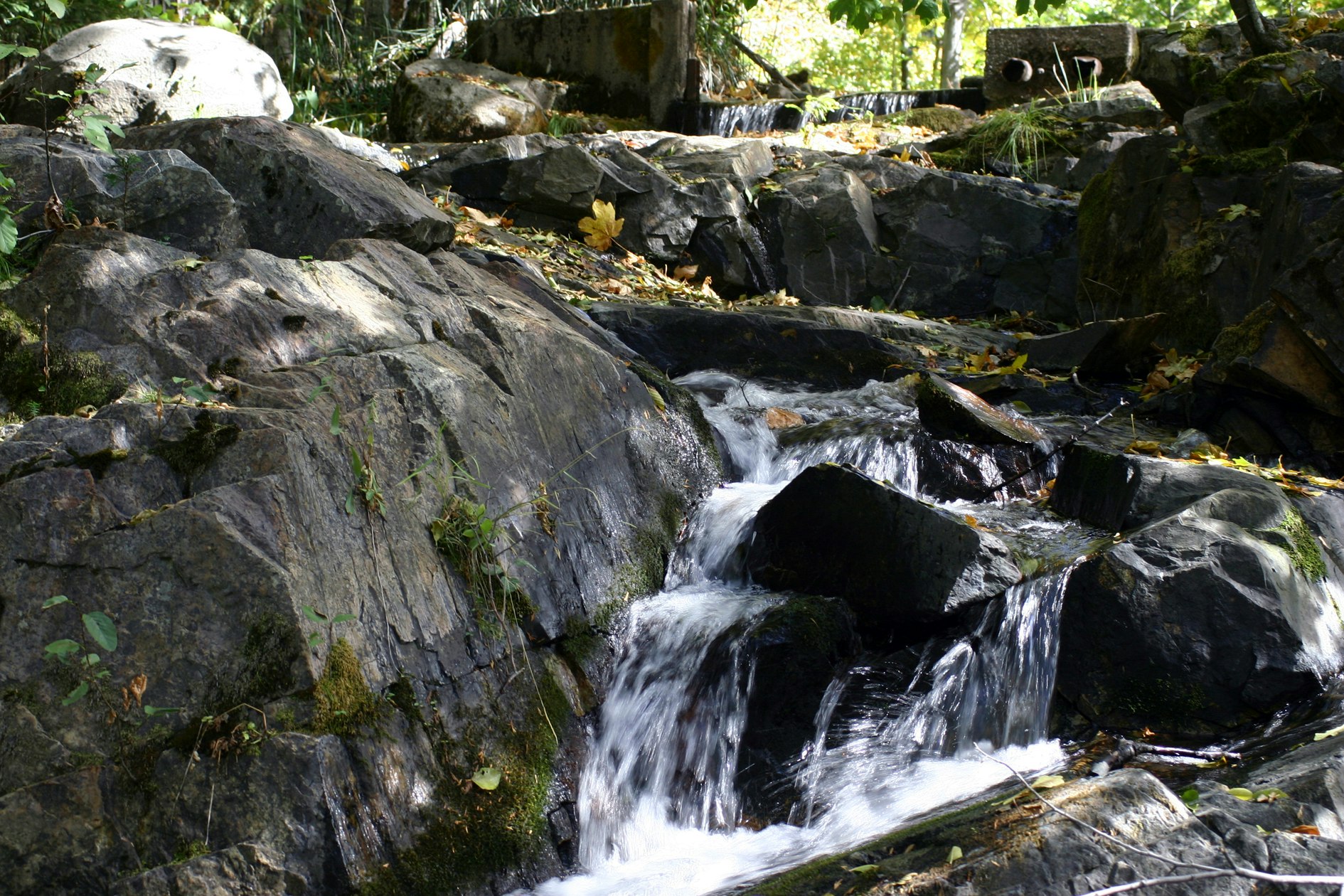
When you turn on the tap, the water journey has already traveled a long way.
It may have started as snow high in the Sierra Nevada, flowed through mountain streams, passed through reservoirs, and traveled through a network of canals and pipelines before reaching homes, farms, and businesses.
But that journey does not begin in just one place. NID's water begins in many watersheds.
More Than One Source
A watershed is an area of land where water collects and flows to a common destination, such as a river, stream, or reservoir.
Think of a watershed as nature's collection system.
Every forest, meadow, hillside, creek, and mountain stream plays a role in moving water through the landscape.
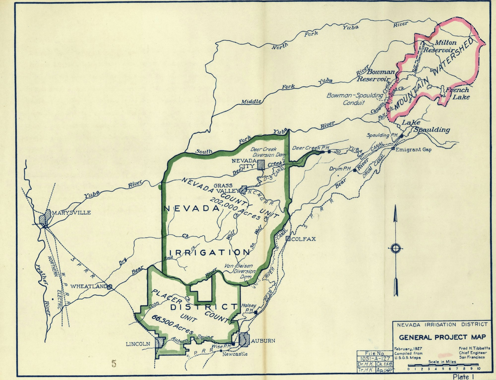
NID's water system depends on several Sierra Nevada watersheds, each with its own unique landscape, geography, and challenges.
The Yuba River Watershed

The Yuba River system is one of NID's most important water sources.
High in the Sierra, the Middle Yuba River watershed captures snowmelt and mountain runoff that flow into reservoirs such as Jackson Meadows and Milton.
These high-elevation watersheds depend heavily on winter snowpack and seasonal runoff—making them especially sensitive to changing temperatures and shifting snow patterns.

The Bear River Watershed
The Bear River watershed is another important part of NID's water system.
Reservoirs and facilities throughout this watershed help capture, store, and deliver water to the communities NID serves.
As temperatures change, the timing of snowmelt, runoff, and water availability can also change.
Smaller Watersheds. Important Connections.

NID's water resources also include smaller but important watersheds such as Deer Creek, Auburn Ravine, and Raccoon/Orr Creek.
While these areas may be smaller in size, they are part of a much larger connected system.
Together, these watersheds help move water from the Sierra landscape to the communities that depend on it.
A Changing Climate Across Every Watershed
Each watershed has its own characteristics, but all face common challenges as the climate changes:
- Less winter snow and earlier snowmelt
- More precipitation falling as rain instead of snow
- Longer, hotter dry seasons
- Increased wildfire risk
- Changes in vegetation and watershed health
- Greater uncertainty in when and how much water is available
The impacts may look different from one watershed to another, but every watershed is part of the same water story.
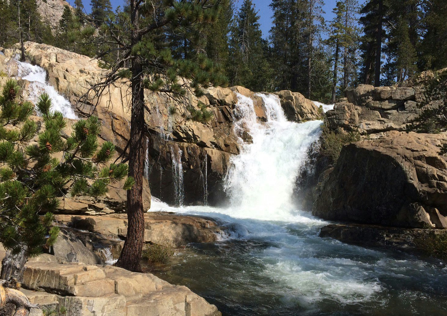
Protecting Where Water Begins
A reliable water supply starts long before water reaches a reservoir.
Healthy forests, resilient streams, functioning meadows, and well-managed infrastructure all work together to support the journey from mountain watershed to community.
Understanding where water begins—and how those landscapes are changing—is an important part of preparing for the future.
Because every drop has a beginning.