
Don’t mess with Mother Nature!
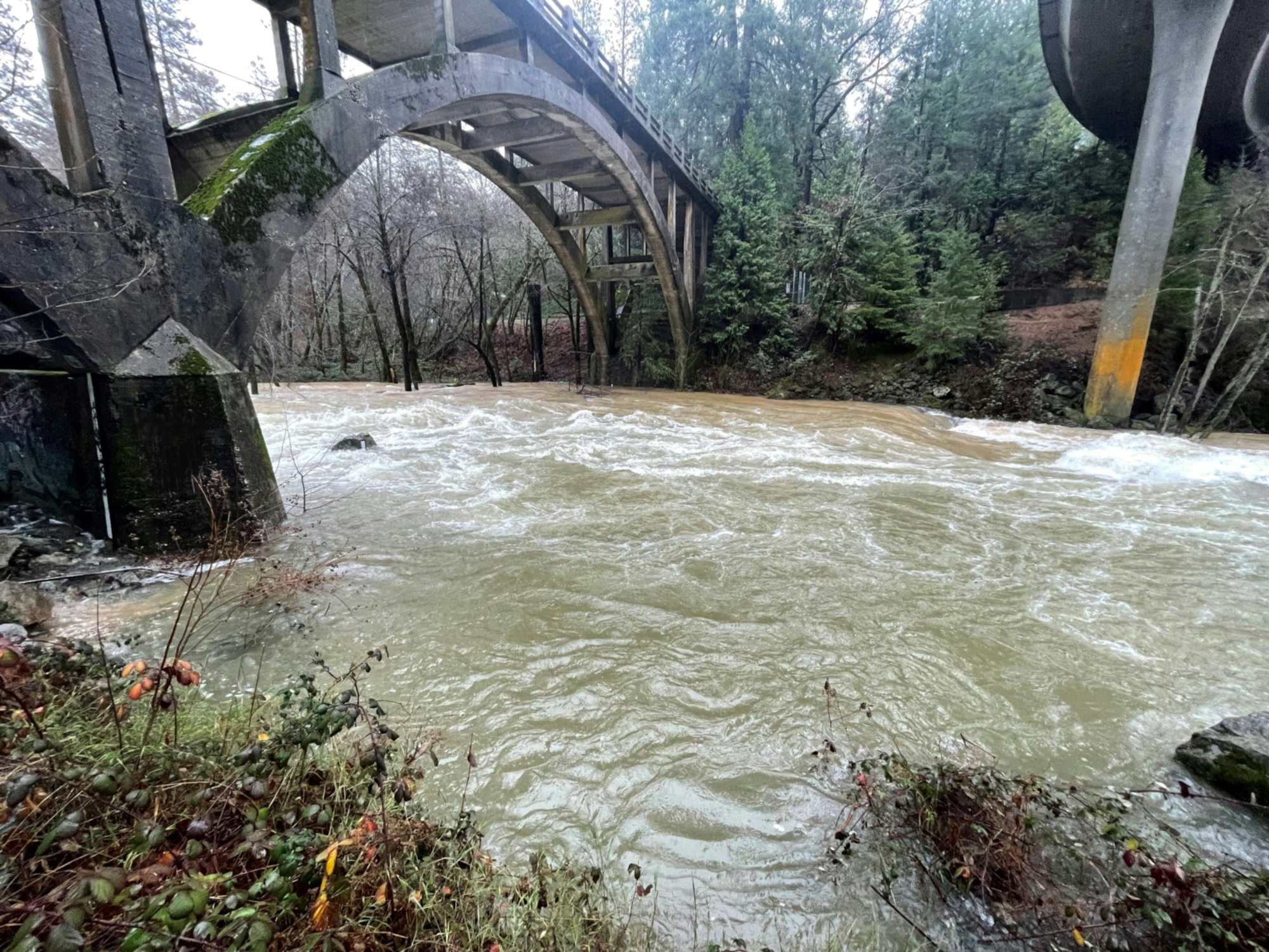
Bear River below Rollins Reservoir
(Jan. 5, 2023) Storm update: NID’s foothill reservoirs are currently full and spilling.
Rollins Reservoir: Flows in the Bear River are extremely high, and caution should be used in the area.
Scotts Flat: In anticipation of these current storms, NID is increasing releases in Deer Creek below Scotts Flat. Expect Scotts Flat Lake to fill and spill in this round of storms.
Notice: The District urges the public to stay safe around waterways and reminds everyone that recreating in NID canals and flumes is strictly prohibited at all times.
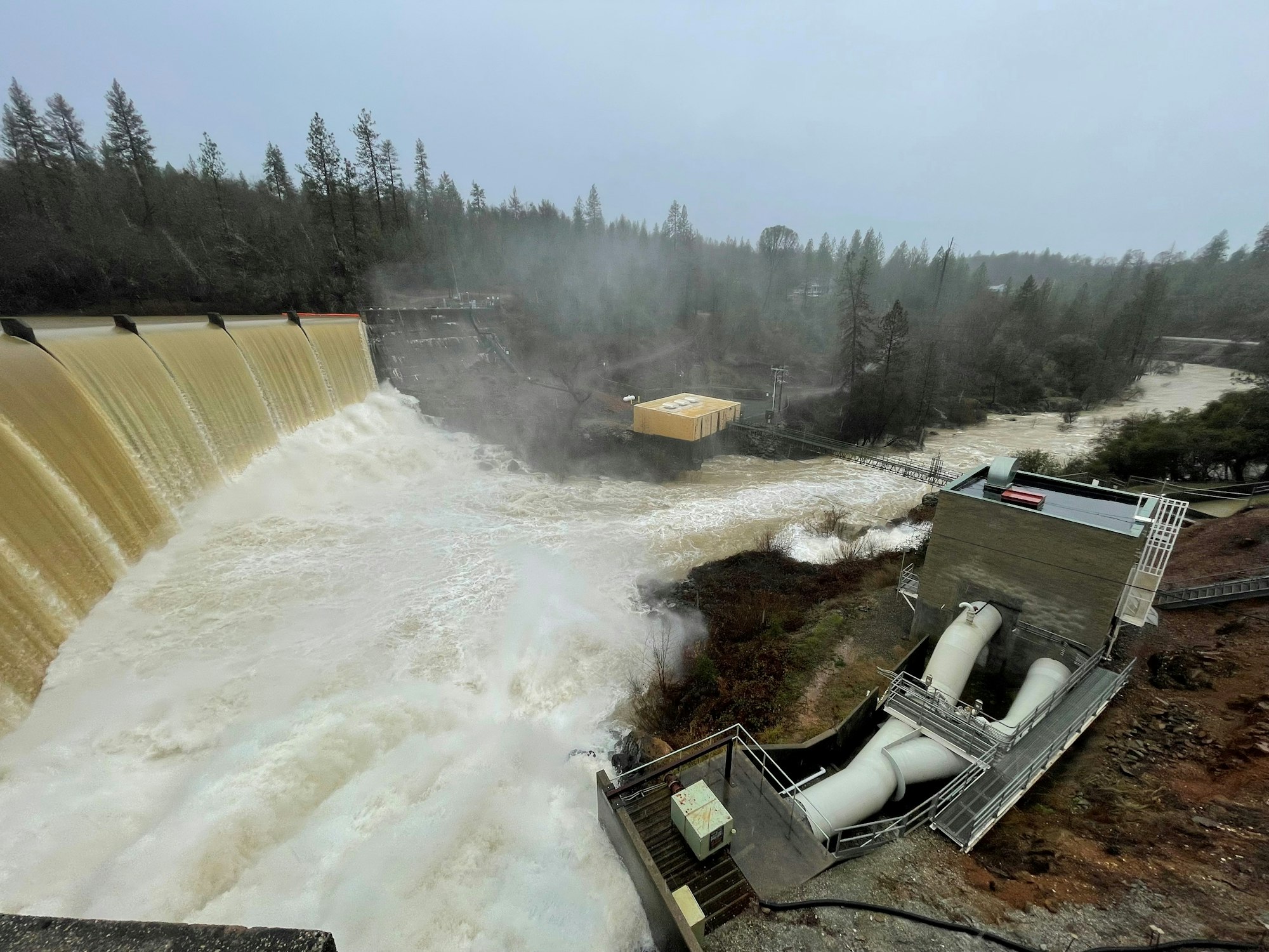
Van Giesen Dam at Combie Reservoir spilling on Saturday, Dec. 31, 2022
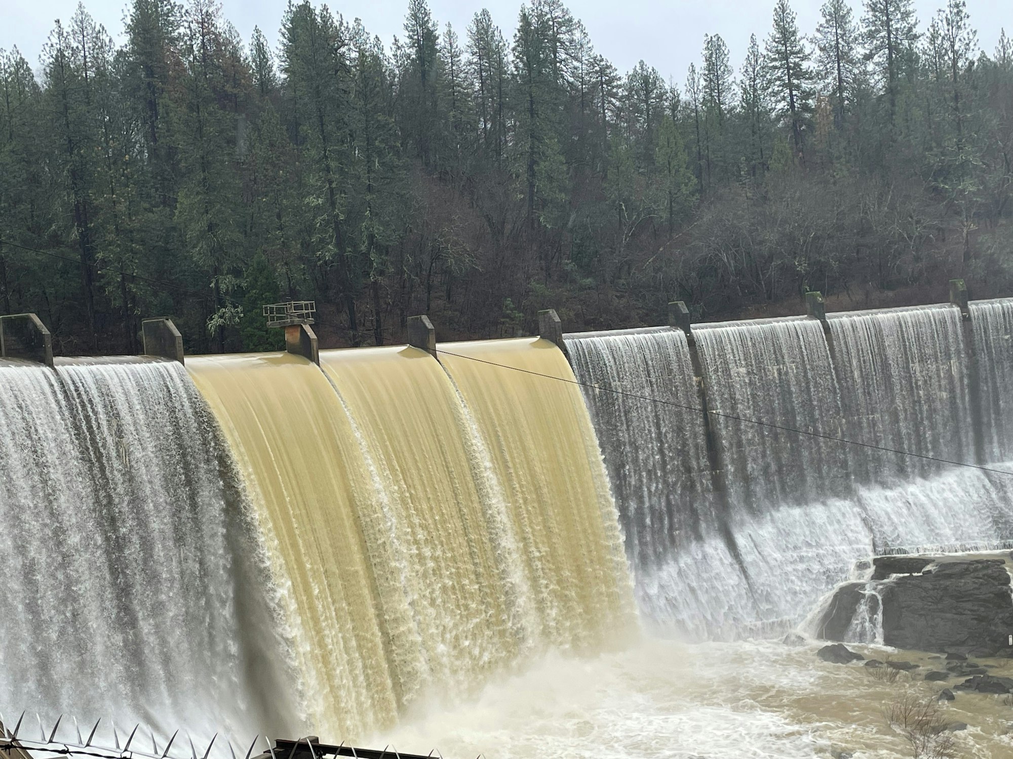
Van Giesen Dam on Jan. 5, 2023
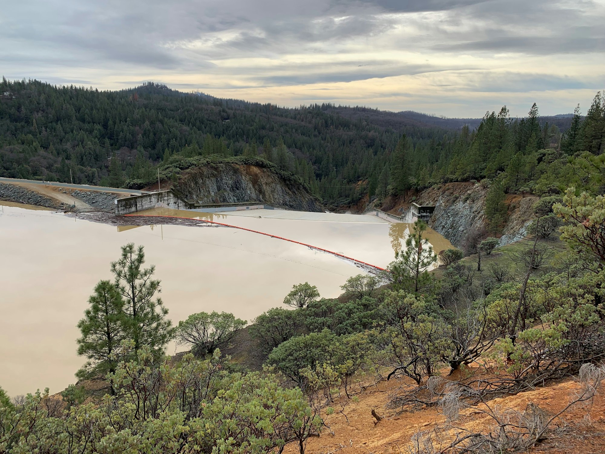
Rollins Reservoir on Jan. 6, 2023